|  | To
                            view any part of this panel in more detail just click on the area
                            you want to see and a larger scale version will come up. Each panel like this has
                            nine enlarged sections.
 To move to the next main panel in any direction just click on the
                            arrow to move up, down, left or right.
 
 |  | 
                
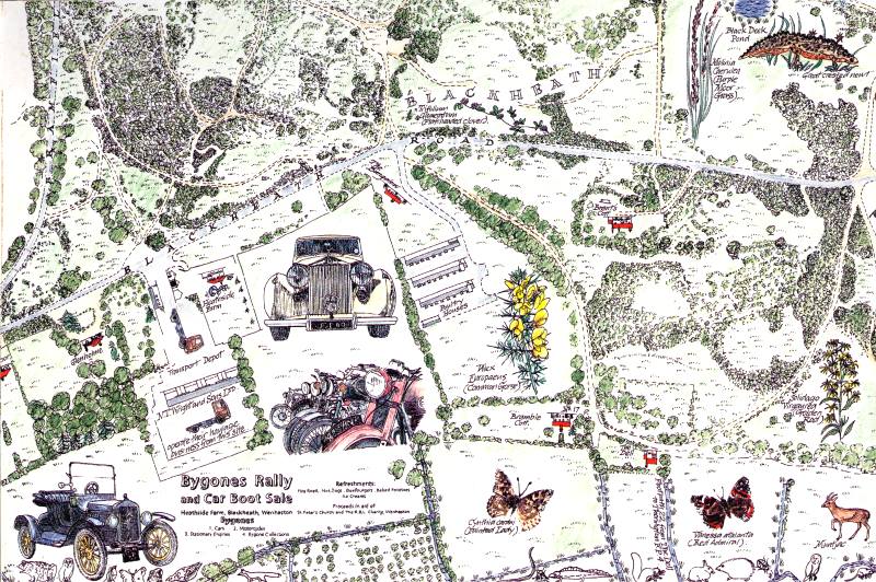
                    |  | This
                                map was made by the people of Wenhaston and Mells to mark the second
                                Millennium, to show their appreciation of the local environment, and
                                to promote interest, concern and care for its well being. The pupils
                                of Wenhaston School made the wildlife decorative border of the map.
                                The entire map is the copyright of the Wenhaston Commons Group and
                                may not be copied without permission.
 |  |